In this section, we describe the way that the sky is broken into regions for both creating object IDs and processing simplification.
GSC1 Regions
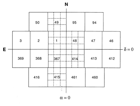
GSC1 uses a subdivided block structure to break the sky into 9537 regions described in the paper The Guide Star Catalog III - Production, Database Organization and Population Statistics where the boundaries are defined to have approximately 2000 objects per region
GSC 1 ID's are the combination of a 5 digit region name and a 5 digit sequential number within the region.
GSC2 Regions
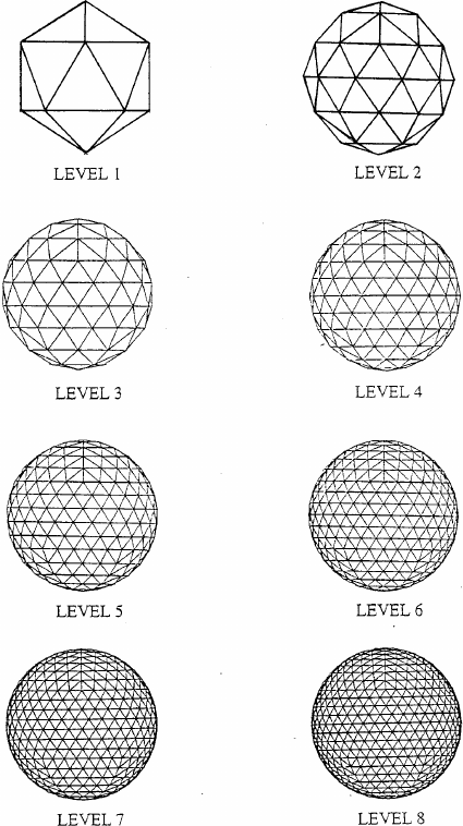
GSC2 uses a Hierarchical Triangulated Mesh to define regions of the sky. This was originally described in the paper Application of the Linear Quadtree to Astronomical Databases and implemented by the SDSS team (see The Hierarchical Triangular Mesh and http://www.skyserver.org/htm/) and also adopted by the GSC team.
HTM level 6 was chosen to define the region structure where each of the 32768 cell is approximately 1.3 sq. degrees.
GSC 2 ID's are a combination of the 5 digit region htmID and a sequential number within the region.
In order to maintain compatibility and not exceed the original 10 character Guide Star ID field of the HST ground system and spacecraft, the GSC2 ID is then transformed to an HST ID which is provided in the catalog and used by the ground systems.